How to Get to Salvatierra from Guanajuato Capital, Celaya and San Miguel de Allende (2026)
Realistic routes, driving times and bus connections to Salvatierra, the state's first city and a Pueblo Mágico — plus how to make it work as a day trip.
Route comparison
| From | By car | By bus | Notes |
|---|---|---|---|
| Celaya | ~45–60 min | Direct regional service, frequent | The easiest base for a short visit |
| Guanajuato Capital | ~2 hours | Capital → Celaya, then Celaya → Salvatierra | Leave by 8am for a comfortable day |
| San Miguel de Allende | ~2 hours | SMA → Celaya, then Celaya → Salvatierra | Pairs well with an overnight in Celaya |
| Querétaro | ~1 h 45 min | Querétaro → Celaya, then onward | Useful if you fly into QRO |
Times are typical door-to-door road times in normal traffic, not guarantees. Always check current bus schedules on the day you travel.
From Celaya (the practical gateway)
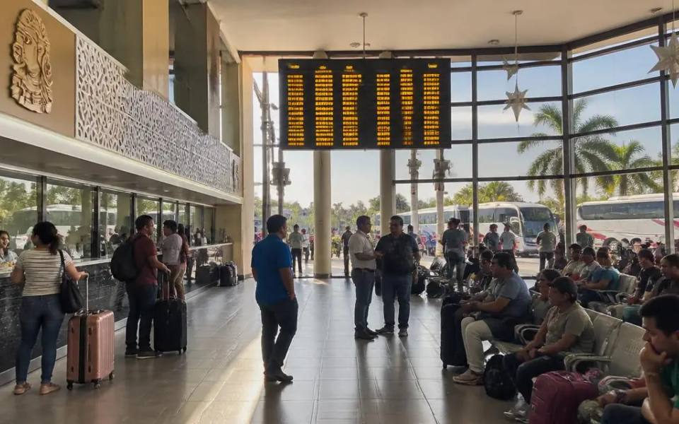
Salvatierra sits south-east of Celaya in the Lerma valley, and Celaya is where almost every road and bus route converges. Driving, it is a straightforward run of roughly 45 minutes to an hour on state highways through farmland. By bus, regional second-class lines run between Celaya's central bus station and Salvatierra's bus station throughout the day; you buy at the counter rather than online, and departures are frequent enough that you do not normally need to reserve. If you are staying in Celaya and want a half-day out, this is the single easiest way to see a Pueblo Mágico.
From Guanajuato Capital
By car, the usual route runs Guanajuato Capital → Irapuato → Celaya → Salvatierra, and takes around two hours each way in normal conditions. There is no regular direct bus, so by public transport you travel to Celaya first (frequent departures from the Central de Autobuses in Guanajuato) and change there for Salvatierra. Budget the full day: leaving the Capital around 8am puts you in Salvatierra mid-morning, which gives you the convent route and lunch before an afternoon return. If you would rather chain several stops, see our best day trips from Guanajuato Capital guide for how Salvatierra compares with the closer options.
From San Miguel de Allende
From San Miguel the drive is also about two hours, heading south through Celaya. As with the Capital, there is no direct bus: take a service to Celaya, then the regional bus onward. Because both legs are short, the connection is easy — the time cost is the two changes, not the distance. Travellers who want more Pueblo Mágico time sometimes stay a night in Celaya or in Salvatierra itself instead of driving back the same evening. For the trade-off between the two towns, read Salvatierra vs. Dolores Hidalgo.
Driving, parking and road notes
The roads in are paved state and federal highways with agricultural traffic, so plan for slower average speeds than the toll roads between the big cities. Fill up in Celaya or Irapuato rather than counting on stations along the way. In Salvatierra itself, the historic centre is compact and walkable: park once, near the Jardín Principal or a signed municipal lot, and cover the sights on foot. Streets around the main square are narrow and one-way in places, so a smaller car is easier.
A realistic one-day plan
A day that works from any of the three starting points: arrive mid-morning, start at the Templo y Ex Convento del Carmen, the city's earliest major construction; walk to Las Capuchinas and the Jardín de los Capuchinos; have lunch near the Jardín Principal; then take in the Puente de Batanes and Nuestra Señora de la Luz over the Río Lerma. If you have children or want a green break, finish at Ecoparque El Sabinal before heading back. Background and history are in our Salvatierra pillar guide, and hotels, food and services are listed under Salvatierra on the platform.
Frequently asked questions
How do I get to Salvatierra from Guanajuato Capital? By car, drive via Irapuato and Celaya — about two hours each way. By bus, take a service from Guanajuato's Central de Autobuses to Celaya, then a regional bus from Celaya to Salvatierra. There is no regular direct bus.
How far is Salvatierra from Celaya? Salvatierra is south-east of Celaya, roughly a 45- to 60-minute drive on state highways. Regional buses run between the two throughout the day.
Can I visit Salvatierra as a day trip from San Miguel de Allende? Yes. The drive is about two hours via Celaya. Leave early, plan on a full day, and expect one bus change in Celaya if you are not driving.
Is there a direct bus to Salvatierra? Not from Guanajuato Capital or San Miguel de Allende. Celaya is the connecting point, with frequent regional second-class departures to Salvatierra's bus station.
Do I need a car in Salvatierra? No. The historic centre is compact and walkable, and the main churches and the Jardín Principal are within a few blocks of each other. A car helps only if you also want to reach Ecoparque El Sabinal comfortably.
How long should I spend in Salvatierra? A full day covers the convent route, the Puente de Batanes and lunch. Add an overnight if you are coming from Guanajuato Capital or San Miguel de Allende and want an unhurried pace.
Keep exploring
Read the Salvatierra city guide, compare it with Dolores Hidalgo, or see all six Pueblos Mágicos of Guanajuato. Browse places to stay and eat in Salvatierra.
Staying in Celaya? See the Celaya guide: cajeta, where to eat and where to stay.